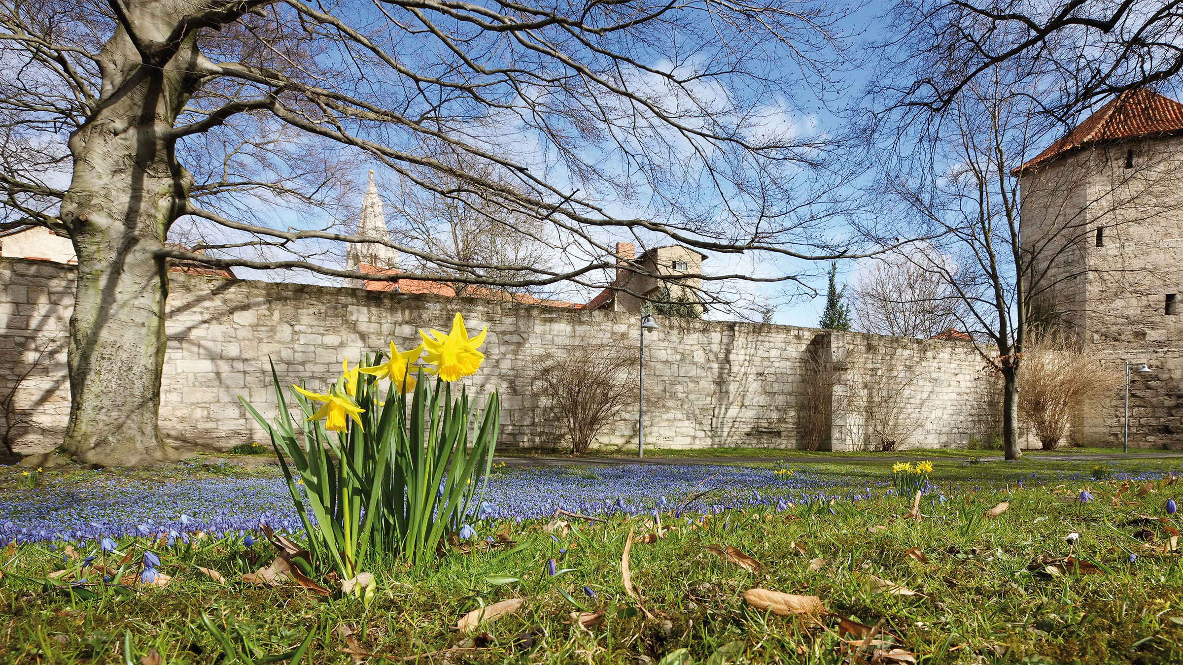
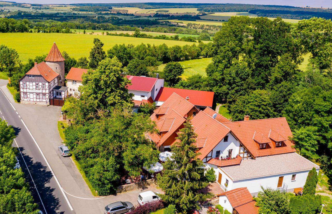
Rieseninger Berg
With the establishment of the railway connection to Mühlhausen in 1870, a new district came into being between the city centre and the railway station, eventually reaching the foot of the Riesinger Hill. The first trees were...
show moreWith the establishment of the railway connection to Mühlhausen in 1870, a new district came into being between the city centre and the railway station, eventually reaching the foot of the Riesinger Hill. The first trees were planted on the hill in 1878. Further development of the area as a city park was taken up by the Verschönerungsverein zu Mühlhausen (“Association for the Beautification of Mühlhausen”), founded in 1843. In particular, the chairman of the association, Theodor Wiesenthal (1853–1923; in office 1898–1923), promoted the creation of a “recreational centre for the citizens of Mühlhausen”. After the association had initiated a monument on the Riesinger Hill in 1901, to commemorate the Peasants’ War, the city’s gardening inspector Adolf Pollex (1864–1921) drew up an overall plan for the municipal park on an area of 130,000 square metres in 1902. Since then, citizens donated considerable sums of money to the project. As a result, 60,000 woody plants were planted there. The promenade paths are all winded, due to the topography of the partly sloping terrain. Water and electricity connections were provided, a goldfish pond, waterfall and fountain put into operation. A Swiss-style multi-storey car park was built in 1910. In addition, benches were set up and a wooden observation tower was built on the site. Since 1908, the Mühlhausen-Treffurt railway line cut the park into two parts, which were connected by a pedestrian bridge. The park’s squares and paths were named after deserving members and supporters of the Beautification Association. A monument was erected for the former chairman of the association, the City Councillor and Chief Post Secretary Theodor Wiesenthal, designed by the Mühlhausen sculptor Walter Krause (1891–1967), which was unveiled on September 19, 1926.
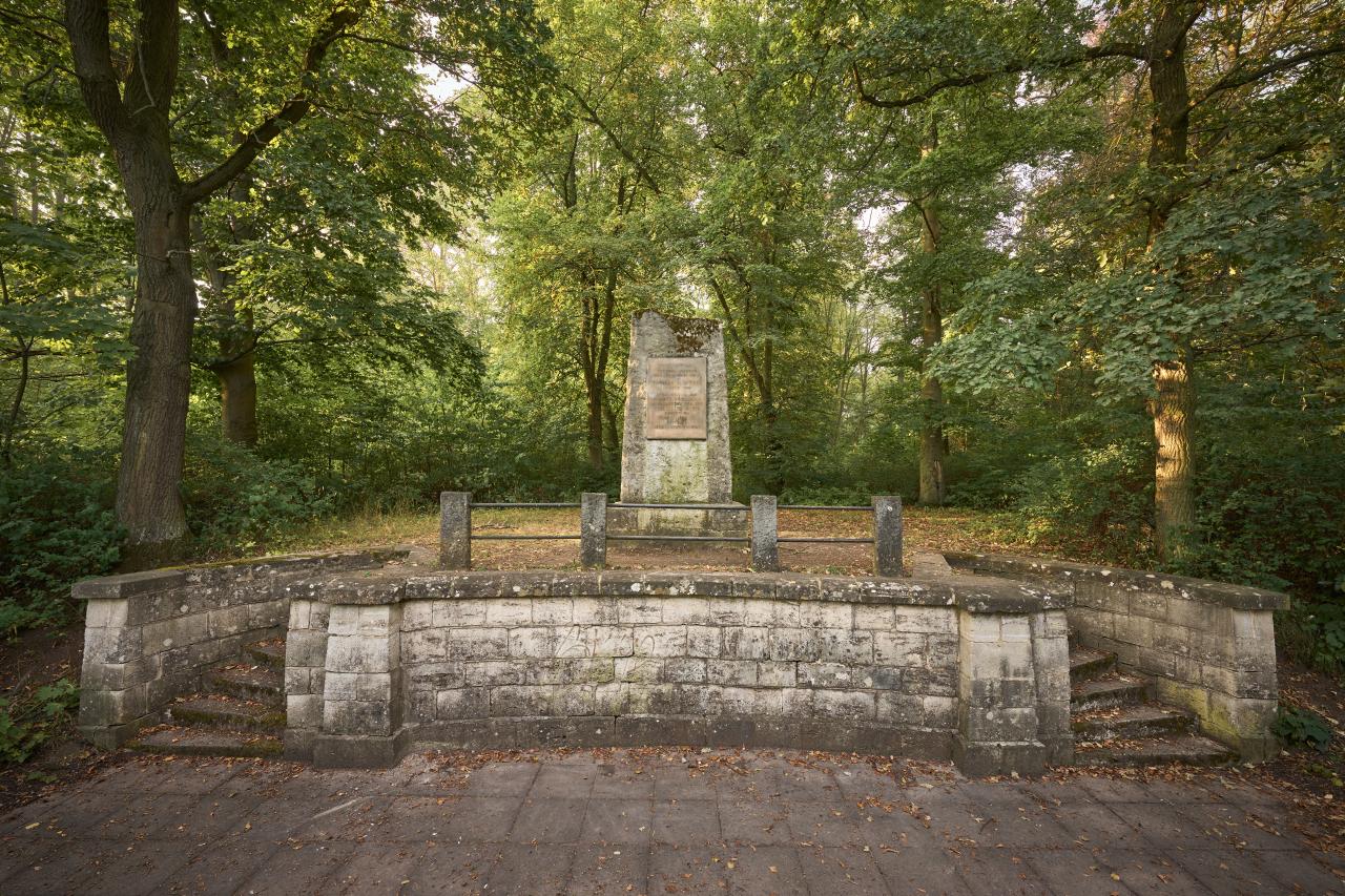
As part of the “Thomas Müntzer Struggle for Peace Week”, from May 25 to May 31, the city park was renamed Volkspark Thomas Müntzer (“Thomas Müntzer People’s Park”), and again later Thomas Müntzer Park. The Peasants’ War Memorial Stone of 1901 received a new inscription, which rededicated it as the “Thomas Müntzer Monument”, to which a new commemorative plaque was attached in 1975. On May 27, 1953, the 428th anniversary of Müntzer’s death, an open-air stage with 2,000 seats was inaugurated, which was used for concerts, theatre and cinema performances until the early 1990s.
Since then the Rieseninger Hill has lost its significance as a recreational area and event venue close to the city. This function has since been taken over by the Swan Pond with its cultural centre and swimming pool, which has been further developed by the city of Mühlhausen. The Riesinger Hill has developed into a forest and habitat for numerous plants and animal species. In its new form, it is again widely accepted by the citizenry today.
Address
Thomas-Müntzer-Straße99974 Mühlhausen
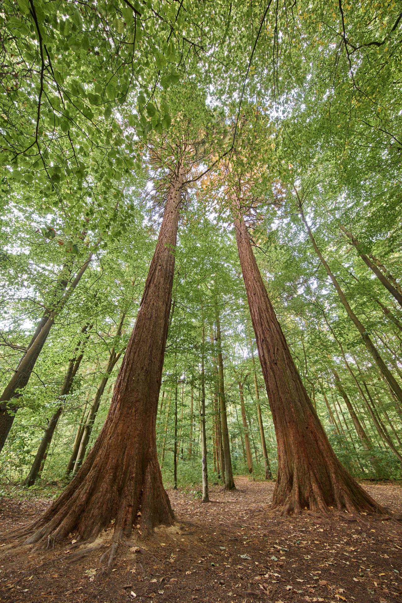
Sequoia trees in the Mühlhausen municipal forest
The Mühlhausen city forest with its extensive and convenient network of trails is a popular destination for hiking and recreation. The "Weißes Haus" hikers' parking lot is an ideal starting point. The sequoia trees, which can be...
show moreThe Mühlhausen city forest with its extensive and convenient network of trails is a popular destination for hiking and recreation. The "Weißes Haus" hikers' parking lot is an ideal starting point. The sequoia trees, which can be found in various places in the city forest, are particularly worth seeing. Redwood trees reach a height of 120 meters in North America. In 1884, the city's chief forester E. Brehme established a planting garden with sequoias and other foreign trees on the Torfgrubenweg.
Address
Waldfrieden 199974 Mühlhausen
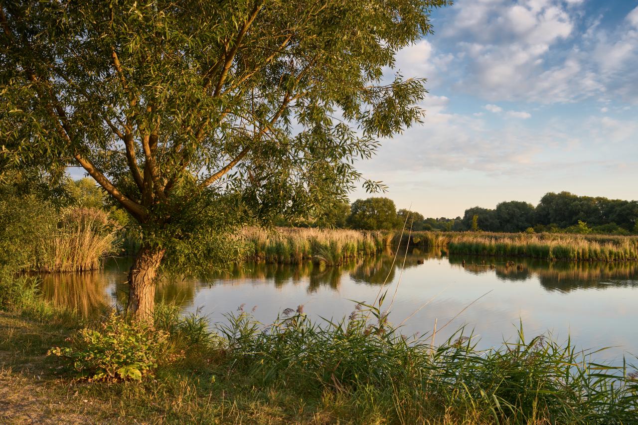
Thomas Pond
The lake is located about one kilometer southwest of Mühlhausen, south of the Swan Pond on the Thomaswiese. To the south is the Weidensee estate. The source of the Thomasteich is the Felchtaer Bach, which flows into the Unstrut.
T...
show moreThe lake is located about one kilometer southwest of Mühlhausen, south of the Swan Pond on the Thomaswiese. To the south is the Weidensee estate. The source of the Thomasteich is the Felchtaer Bach, which flows into the Unstrut.
The Thomas pond was excavated in 1607 in the headwaters of a brook. When in 1901 the Thomas spring was created on a small hill to the north-east of the pond, it was additionally strengthened with karst water. This is why scattered fir fronds can be seen in the lake water today. The Thomas pond has been designated as an area nature monument and is the property of the Mühlhausen anglers' association. The Unstrut-Werra cycle path leads from Mühlhausen directly past the pond.
Address
Heyeröder Landstraße99974 Mühlhausen
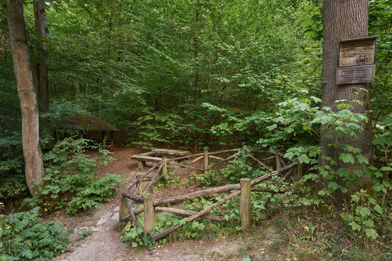
Spittel fountain in the Mühlhausen city forest
The Spittel fountain is a hunger well, i.e. a periodically water-bearing karst spring, in the north of the Hainich near Mühlhausen in Thuringia.
The Spittel fountain, which only pours after prolonged downpours, is located in the...
show moreThe Spittel fountain is a hunger well, i.e. a periodically water-bearing karst spring, in the north of the Hainich near Mühlhausen in Thuringia.
The Spittel fountain, which only pours after prolonged downpours, is located in the Mühlhausen city forest and is lined with shell limestone blocks. The well has a diameter of about one and a half meters and is about two meters deep. The well takes its name from the village of Spudelborn, which was formerly located there and was abandoned as early as the 13th century. The outflowing Spittelgraben runs to the east and merges with the Felchtaer Bach, a tributary of the Unstrut, near Weidensee.
Address
99974 Mühlhausen
Mühlhäuser Landgraben
The Mühlhäuser Landgraben combines nature and history over a length of 26 kilometers to a wonderful hiking experience. Already in prehistoric and early historic times, Germanic settlers sought protection from invaders and...
show moreThe Mühlhäuser Landgraben combines nature and history over a length of 26 kilometers to a wonderful hiking experience. Already in prehistoric and early historic times, Germanic settlers sought protection from invaders and conquerors from the north and west through the precursor of the moat. Later, fortifications consisting of ramparts and ditches served to protect the imperial city of Mühlhausen.
Address
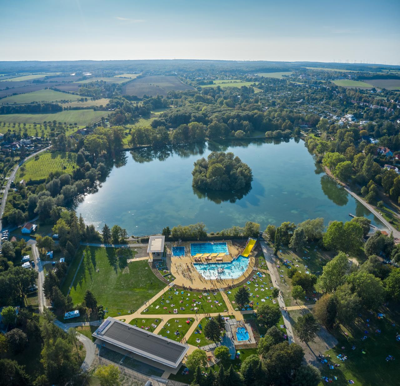
Recreation area at the swan pond
Charmingly situated on the outskirts of the town of Mühlhausen, the area around the Swan Pond offers a variety of opportunities to be active. A boat rental service rents out rowing boats and water pedals from May to September....
show moreCharmingly situated on the outskirts of the town of Mühlhausen, the area around the Swan Pond offers a variety of opportunities to be active. A boat rental service rents out rowing boats and water pedals from May to September. Small guests can use attractive playgrounds, distributed on the area. A walk is possible around the Schwanenteich or to the nearby Brunnenhaus Popperode. Cycling and hiking trails, a café and a nearby campsite with pitches for caravans and a tent meadow are available for visitors to use. Since 2020, the newly built outdoor pool can also be used.
Address
Schwanenteichallee 3399974 Mühlhausen

Rennstieg in Hainich
The 2nd World War and the further military use afterwards prevented the continuous walk. Since 1993, thanks to the efforts of some members of the Rennsteigverein 1896 e.V., the Rennstieg is again accessible to all hiking friends.
On October 9 and 10, 1993, the first Runst could be carried out again after 51 years.
Address

Hainichlandweg - 1st stage from Weberstedt to Kammerforst
On the 1st stage of the Hainichlandweg you will see impressively how nature reclaims a military training area that has been used for decades within a very short time. On the Brunstal...
show moreOn the 1st stage of the Hainichlandweg you will see impressively how nature reclaims a military training area that has been used for decades within a very short time. On the Brunstal adventure trail you can test your strength. You will hike through the core zone of the national park. With the "Betteleiche" you discover the heart of the Hainich.
- Marking: colorful beech leaf and red dot on white square.
- Condition of the trails: Nature trail (7.6 km), path (7.1 km), gravel path (1.3 km)
- Requirements: good physical condition; suitable for families; suitable for hikers 12 years and older
Other destinations on this stage:
- Weberstedt: Goldacker Castle, "Hainich Zauber" play barn, heated outdoor pool
- Niederdorla: geographic center of Germany, Vogtei sacrificial bog
- Kammerforst: Zilling damask forge, Kley display pottery, Klingbrunnen fountain, wildcat children's forest, environmental education station
Address

Hainichlandweg - 2nd stage from Kammerforst to Struth
On this stage you will get to know the historical bailiwick. In the Mühlhausen city forest you will roam through the largest municipal forest in Thuringia. Afterwards you will cover a small section...
show moreOn this stage you will get to know the historical bailiwick. In the Mühlhausen city forest you will roam through the largest municipal forest in Thuringia. Afterwards you will cover a small section on the unique Mühlhäuser Landgraben.
- Marking: colorful beech leaf and red dot on white square
- Condition of the trails: path (7.4 km), nature trail (5.4 km), gravel path (4.8 km), asphalt (1.5 km), road (0.4 km)
- Requirements: good physical condition; suitable for families; suitable for hikers 12 years and older
Other destinations on this stage:
- Mühlhausen: with walkable battlements on the city wall and the second largest sacred building in Thuringia, the Marienkirche.
Address
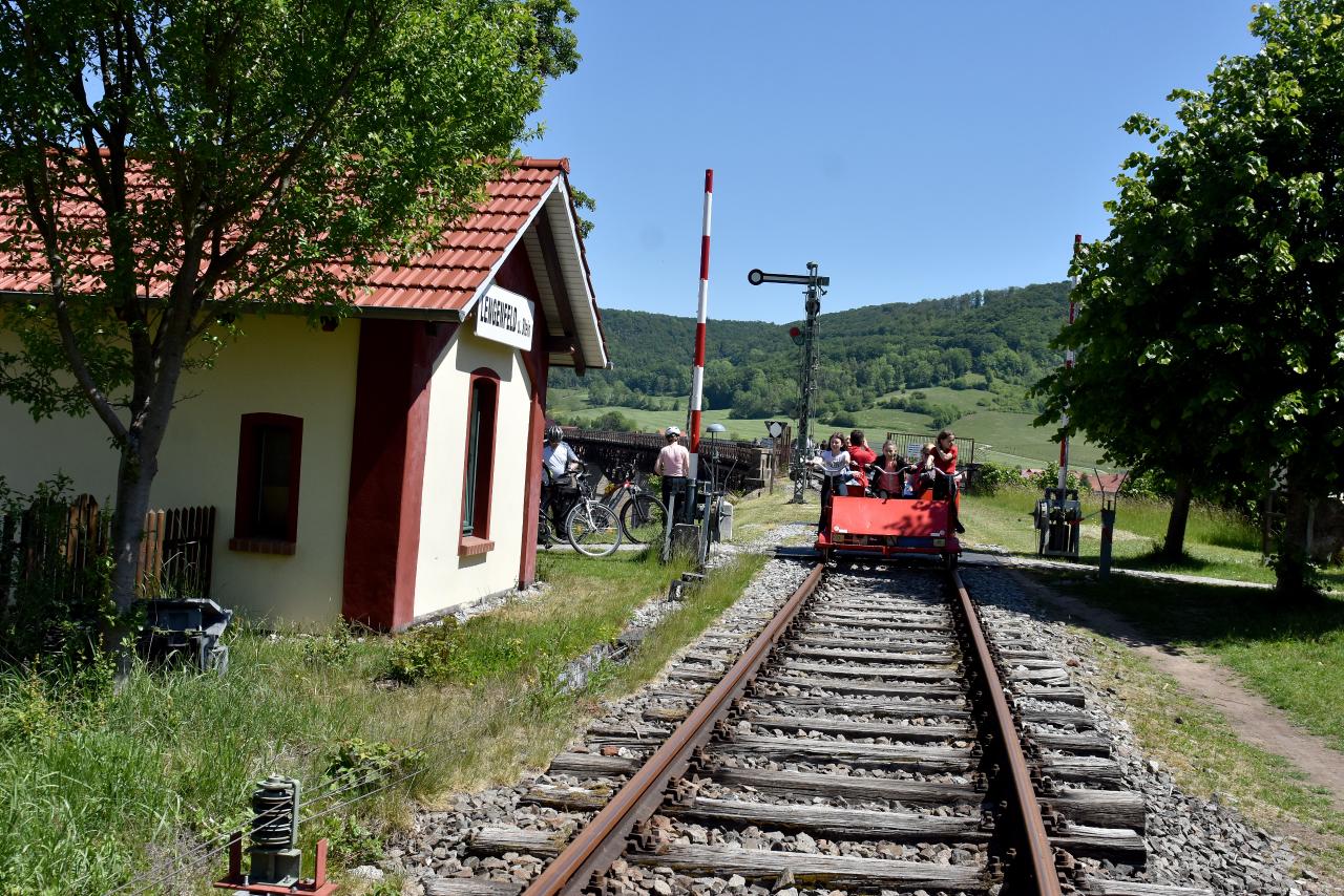
bicycle trolley Lengenfeld unterm Stein
Address
Bahnhofstraße 4399976 Lengenfeld unterm Stein
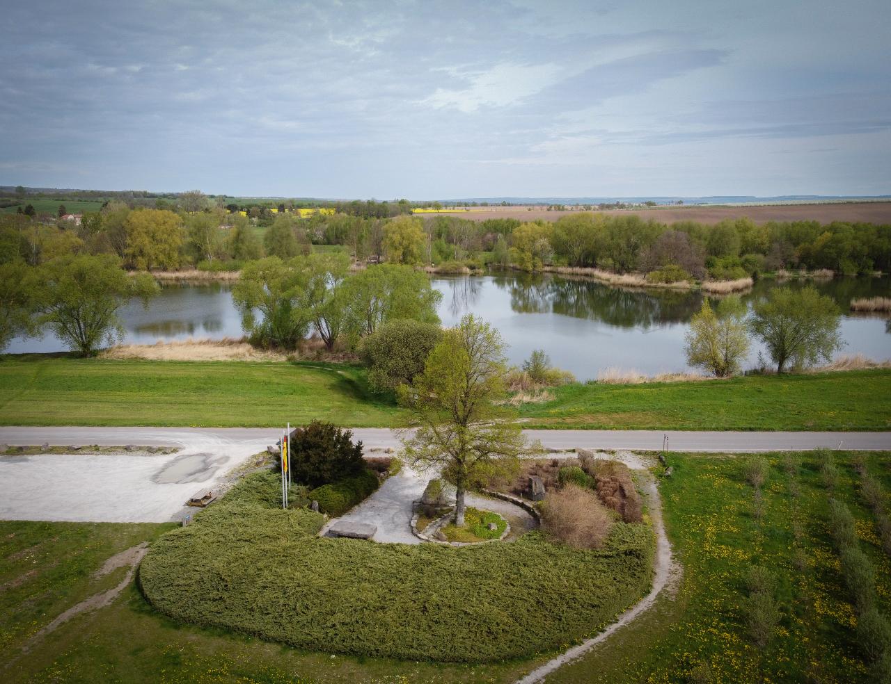
geographical center of Germany
Address
Weisenheimer Weg99986 Niederdorla
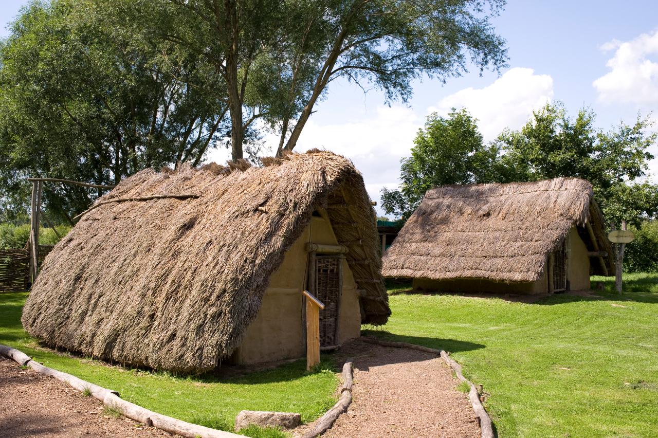
Opfermoor Vogtei
During extensive excavations between 1957 and 1964, archaeologists found the relics of a prehistoric cult site on the edge of a lake north of Niederdorla. The rituals began in the 6th century B.C. Today, an open-air museum stands...
show moreDuring extensive excavations between 1957 and 1964, archaeologists found the relics of a prehistoric cult site on the edge of a lake north of Niederdorla. The rituals began in the 6th century B.C. Today, an open-air museum stands on this site, vividly documenting the history of the cult site from the Iron Age to the Migration Period. The site comprises ten faithfully reconstructed sanctuaries, a settlement from the time of the Germanic tribes and a museum in wooden construction, in which numerous finds such as ceramics and cult objects are exhibited.
Address
Schleifweg 1199986 Niederdorla
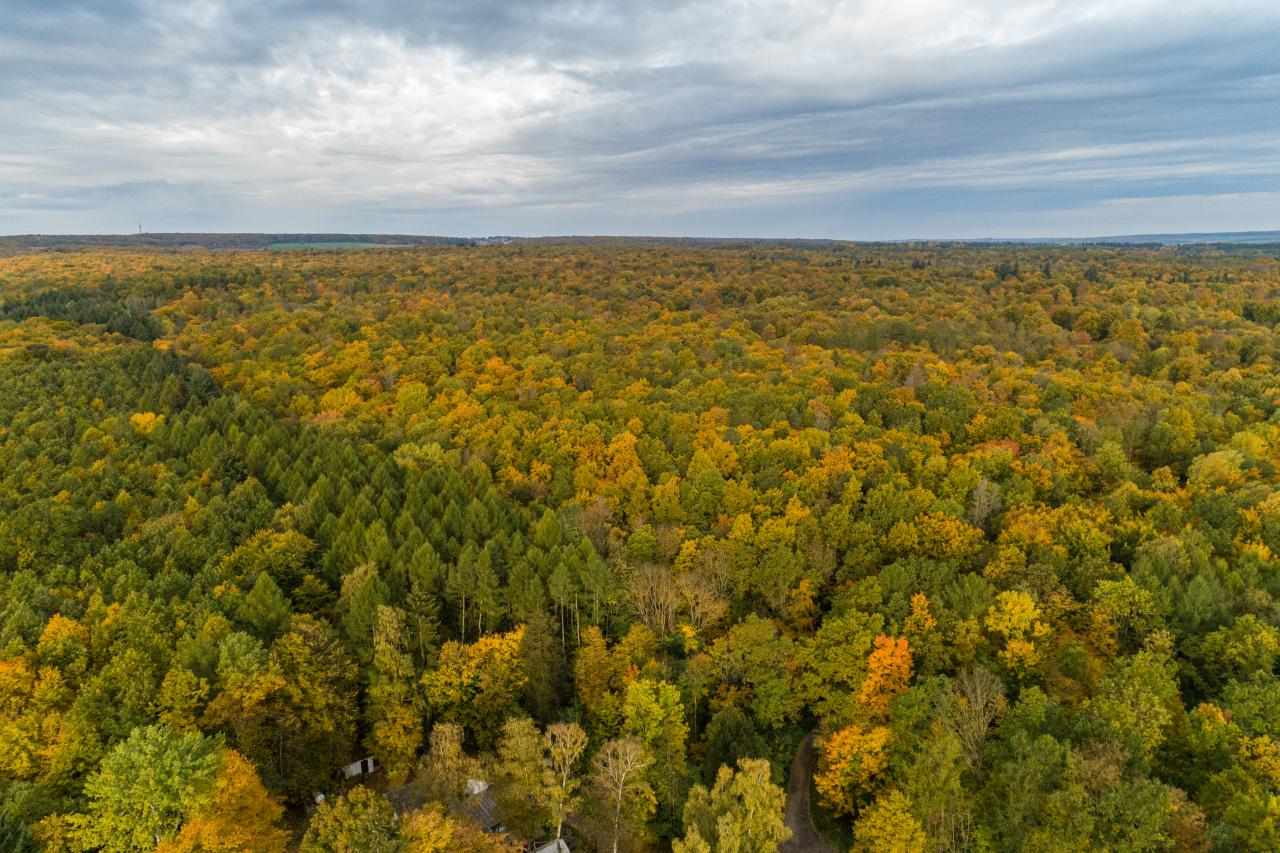
Mühlhausen city forest
The Mühlhäuser Stadtwald with its extensive and convenient network of paths is a popular destination for hiking and recreation. The "Weißes Haus" hikers' car park is an ideal starting point. Especially worth seeing are the...
show moreThe Mühlhäuser Stadtwald with its extensive and convenient network of paths is a popular destination for hiking and recreation. The "Weißes Haus" hikers' car park is an ideal starting point. Especially worth seeing are the sequoia trees, which can be found at various places in the municipal forest. The Mühlhausen municipal forest is with 3093 ha forest area the largest municipal forest in the Free State of Thuringia. It is integrated into the Eichsfeld Hainich Werratal Nature Park and borders on the Hainich National Park. The "Mühlhäuser Holzfahrt", an annual folk festival held in June, documents the close ties between the people of Mühlhausen and the Mühlhausen municipal forest.
Address
Weiße-Haus-Chausee99974 Mühlhausen
Tours

Mühlhausen city forest - circular hiking trail to the sequoia trees
End point Hiking parking lot Prinzenhaus

Small city tour of Mühlhausen
End point Town Hall, Ratsstrasse 19

Grand city walk through Mühlhausen
End point Town Hall, Ratsstrasse 19

Round tour from the historic old town of Mühlhausen to the "Zum Löwen" monument
End point Tourist Information Mühlhausen

Tour from the historic old town of Mühlhausen to the New Cemetery (BUGA - outdoor site 2021)
End point Entrance New Cemetery Mühlhausen

Mühlhäuser Landgraben
End point Eigenrieden (Hohenrode)
Service

Hiking car park Weißes Haus
The Weißes Haus hikers' parking lot is an ideal starting point for hikes through the Mühlhausen city forest. A special attraction in the Mühlhäuser Stadtwald are the sequoia trees.
show moreThe Weißes Haus hikers' parking lot is an ideal starting point for hikes through the Mühlhausen city forest. A special attraction in the Mühlhäuser Stadtwald are the sequoia trees.
Address
Weiße-Haus-Chaussee99974 Mühlhausen
Hiking car park Prinzenhaus
The hikers' parking lot is an ideal starting point for hikes through the Mühlhäuser Stadtwald. A special attraction in the Mühlhäuser Stadtwald are the sequoia trees.
show moreThe hikers' parking lot is an ideal starting point for hikes through the Mühlhäuser Stadtwald. A special attraction in the Mühlhäuser Stadtwald are the sequoia trees.
Address
Am Stadtwald99974 Mühlhausen
Hiking car park Peterhof
The hikers' parking lot is an ideal starting point for hikes through the Mühlhäuser Stadtwald. A special attraction in the Mühlhäuser Stadtwald are the sequoia trees.
show moreThe hikers' parking lot is an ideal starting point for hikes through the Mühlhäuser Stadtwald. A special attraction in the Mühlhäuser Stadtwald are the sequoia trees.
Address
Sankt Nikolai 20399974 Mühlhausen